
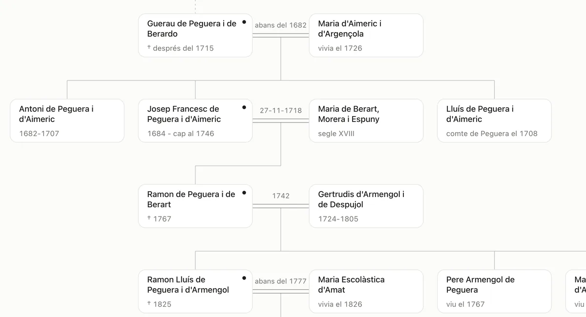
The Peguera · 1484–1881
Have you seen the Peguera family tree?
Eleven generations of the lords of Torrelles in a single tree. Tap anyone to find out who they were and where the research talks about them.
Open the treeTree: Amics de Foix, 2026.
An archive open to everyone
Documents, heritage and memory
to understand where we come from.
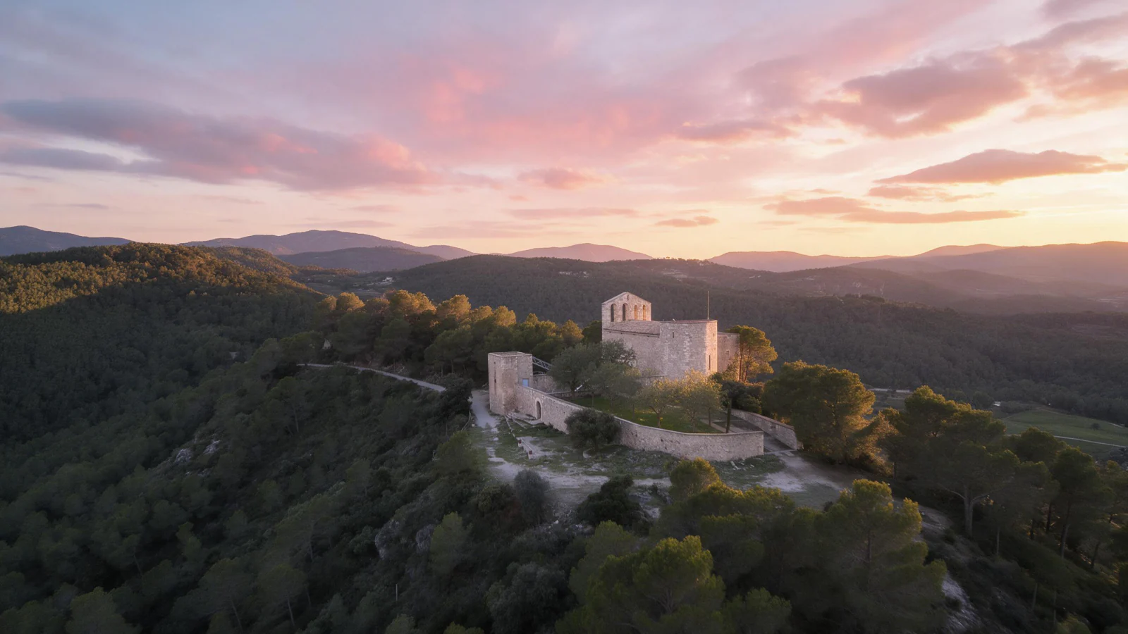
Santa Maria de Foix
Torrelles de Foix · Alt Penedès
Your starting point
Research, up close
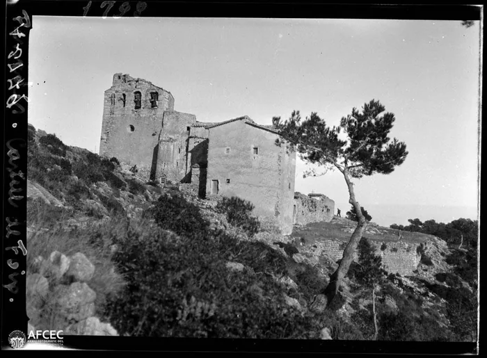
The sanctuary of Foix retains traces of a long and complex history. We reconstruct its past from the documents and the building, distinguishing what we know from what still needs investigating.
Explore the researchHistory on the ground
The paths, fields and houses tell how this territory has been inhabited. The map helps you read them together.
Open the map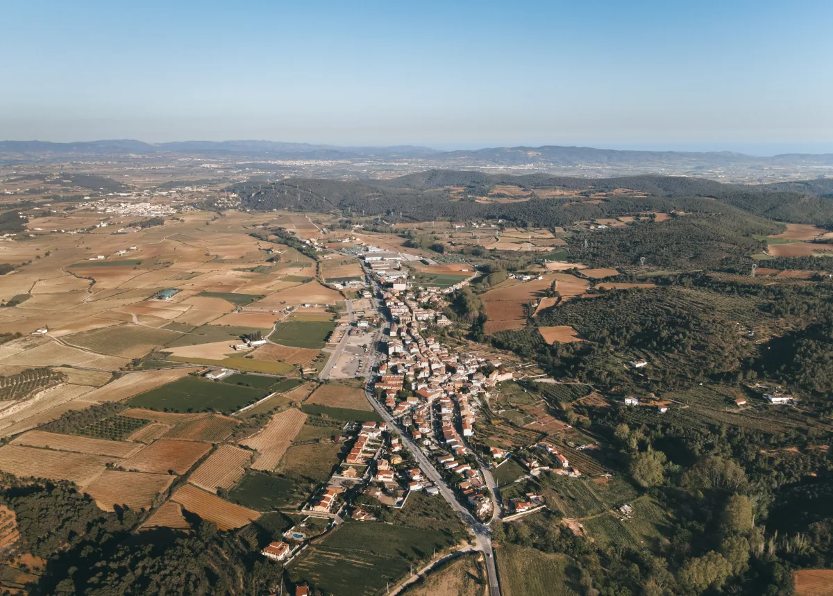 36.67 km² to discover
The Peguera · 1484–1881
Eleven generations of the lords of Torrelles in a single tree. Tap anyone to find out who they were and where the research talks about them.
Open the treeTree: Amics de Foix, 2026.
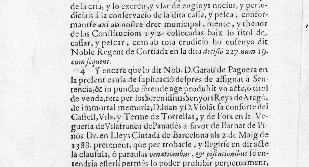
The Peguera · 1698
The lord banned hunting and fishing throughout the municipal area. In 1698 the town took him to court and lost, but it appealed with a printed allegation that still survives.
Read about the lawsuitAddicio al discurs en dret de la vila de Torrelles, 1699 · Il·lustre Col·legi de l’Advocacia de Barcelona.
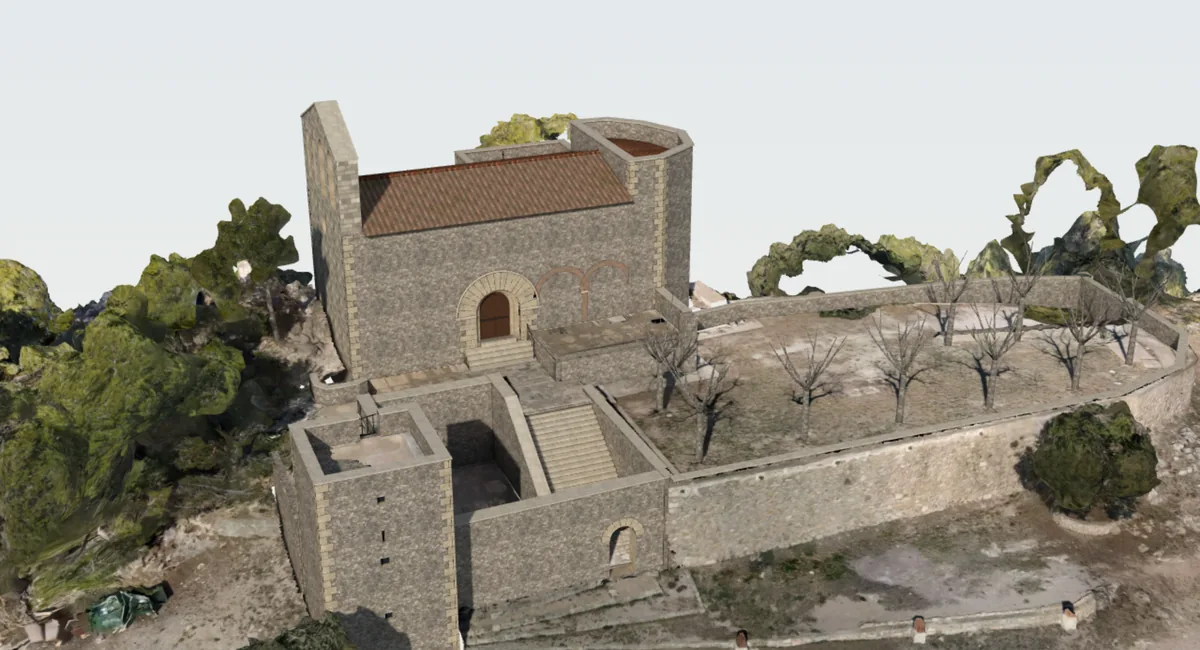
The sanctuary of Foix · In 3D
We rebuilt it from the measurements of the 1980s restoration and the drone photographs. You can turn it, zoom in and open it up to see the vault and the chapels inside.
Step insideModel: Amics de Foix, 2026. Measurements: Rafael Vila Rodríguez, Diputació de Barcelona. Photogrammetry: Francesc Carbó, 2023.
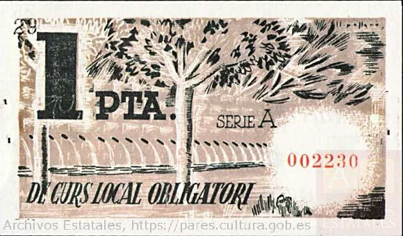
A piece from the archive · 1937
During the Civil War, the Town Council issued one-peseta and fifty-cent notes. On the reverse, a very familiar image: the springs of les Dous.
Read the storyCopy held in the Causa General · Archivo Histórico Nacional.
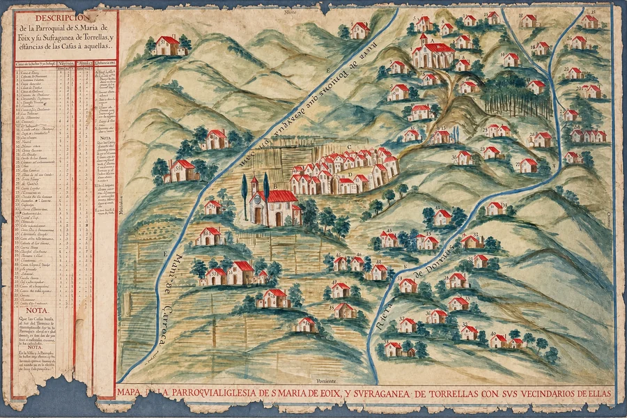
The houses of the municipal area · 18th century
It is a parish map, and for each house it gives the distance to Santa Maria de Foix and to Sant Genís: the rector needed to know what it took to get there.
See the mapEdited version of the old parish map. Amics de Foix archive.
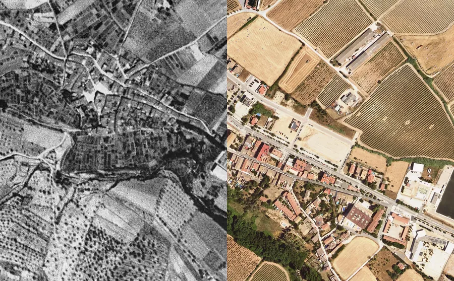
Torrelles from the air · 1946–2025
They are the oldest aerial photographs of the whole municipal area. Alongside those from 1957, 1977 and 2025 you can see how the village has grown, how the sanctuary has changed and how the forest has taken over old terraces.
Compare the photographsThe village in 1946 and today · ICGC Ortofoto Territorial, CC BY 4.0.
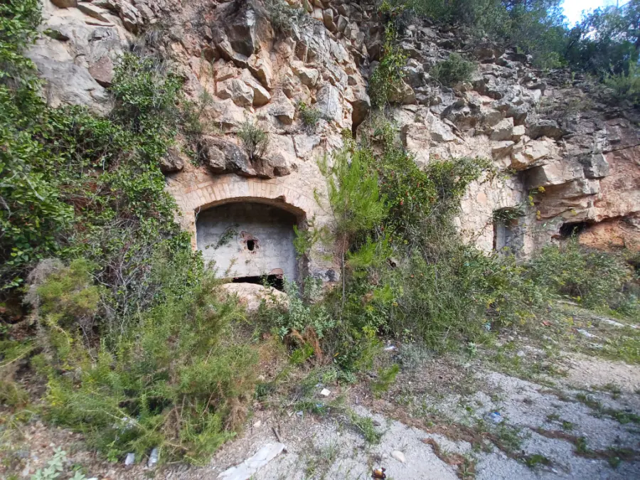
The lead mines · The Pontons stream
It lies on the Pontons stream, right by the Torrelles municipal area, and lead and zinc were mined there. Two 19th-century accounts tell of a pothole full of human bones, which still gives the mine its name.
Read the researchMapa de Patrimoni Cultural de la Diputació de Barcelona, CC BY 4.0.
Amics de Foix · Since 1978
From a residents' initiative to save the sanctuary to a shared archive. The research continues thanks to the people who contribute time, knowledge and documents.
Who we are and how we work to study and share the village's heritage.
Family researchCensus rolls and other documents can help you trace your family.
Get involvedPhotographs, letters or festival programmes. An everyday document can open up a new line of research.